Geolocate

Cikalong topographic map

Click on the map to display elevation.

About this map

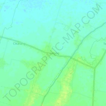
Name: Cikalong topographic map, elevation, terrain.

Location: Cikalong, West Java, 41384, Indonesia (-6.28428 107.53230 -6.24428 107.57230)

Average elevation: 23 ft

Minimum elevation: 7 ft

Maximum elevation: 46 ft

Gear up for your next adventure:

🍳Camping Cook Set - Complete cookware for outdoor meals
🚑Emergency Bivvies - Heat-reflective sleeping bags for survival situations
🧭Hiking Compass - Precision compass for reliable navigation in the wilderness
🔋Solar Power Banks - Keep your GPS and phone charged in remote wilderness areas
🧢Sun Protection Hats - Wide-brimmed and UPF-rated hats for high-altitude sun safety

As an Amazon Associate, this site earns from qualifying purchases at no extra cost to you.