
Đông Sơn topographic map
Interactive map
Click on the map to display elevation.
About this map
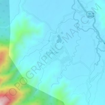
Name: Đông Sơn topographic map, elevation, terrain.
Location: Đông Sơn, A Lưới District, Thừa Thiên-Huế Province, Vietnam (16.09474 107.30540 16.13474 107.34540)
Average elevation: 2,165 ft
Minimum elevation: 1,906 ft
Maximum elevation: 4,075 ft