
Bellingwolde topographic map
Interactive map
Click on the map to display elevation.
About this map
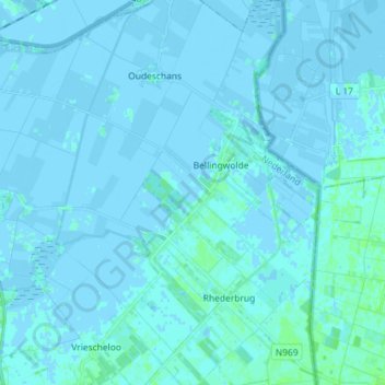
Name: Bellingwolde topographic map, elevation, terrain.
Location: Bellingwolde, Westerwolde, Groningen, Nederland (53.06862 7.09427 53.15489 7.20279)
Average elevation: 3 ft
Minimum elevation: -13 ft
Maximum elevation: 23 ft