
Watergang topographic map
Interactive map
Click on the map to display elevation.
About this map
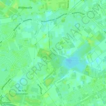
Name: Watergang topographic map, elevation, terrain.
Location: Watergang, Lochristi, East Flanders, Flanders, 9080, Belgium (51.09889 3.78813 51.10138 3.80055)
Average elevation: 20 ft
Minimum elevation: -3 ft
Maximum elevation: 36 ft