
翰池 topographic map
Interactive map
Click on the map to display elevation.
About this map
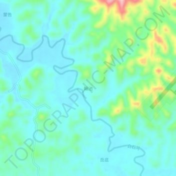
Name: 翰池 topographic map, elevation, terrain.
Location: 翰池, Teng, Wuzhou, Guangxi, 543000, China (23.37850 111.05500 23.41850 111.09500)
Average elevation: 187 ft
Minimum elevation: 52 ft
Maximum elevation: 679 ft