
Tandang Kutyo topographic map
Interactive map
Click on the map to display elevation.
About this map
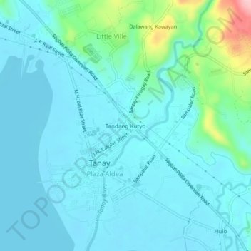
Name: Tandang Kutyo topographic map, elevation, terrain.
Location: Tandang Kutyo, Tanay, Rizal, Calabarzon, 1980, Philippines (14.48444 121.26990 14.52444 121.30990)
Average elevation: 92 ft
Minimum elevation: -3 ft
Maximum elevation: 610 ft