
Xiaolangdi topographic map
Interactive map
Click on the map to display elevation.
About this map
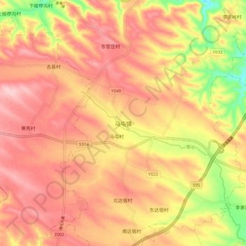
Name: Xiaolangdi topographic map, elevation, terrain.
Location: Xiaolangdi, Mengjin County, Luoyang City, Henan, China (34.81924 112.30814 34.89924 112.38814)
Average elevation: 1,217 ft
Minimum elevation: 768 ft
Maximum elevation: 1,480 ft