
Folgares topographic map
Interactive map
Click on the map to display elevation.
About this map
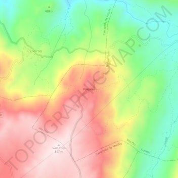
Name: Folgares topographic map, elevation, terrain.
Location: Folgares, Freixiel, Vila Flor, Distrito de Bragança, Portugal (41.28712 -7.30106 41.32712 -7.26106)
Average elevation: 1,778 ft
Minimum elevation: 909 ft
Maximum elevation: 2,648 ft