
Santo Tomas topographic map
Interactive map
Click on the map to display elevation.
About this map
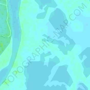
Name: Santo Tomas topographic map, elevation, terrain.
Location: Santo Tomas, Loba, Bolívar, Río Viejo, Colombie (8.54064 -73.85979 8.56064 -73.83979)
Average elevation: 115 ft
Minimum elevation: 105 ft
Maximum elevation: 141 ft
Other topographic maps
Click on a map to view its topography, its elevation and its terrain.