
Mazowe topographic map
Interactive map
Click on the map to display elevation.
About this map
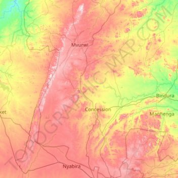
Name: Mazowe topographic map, elevation, terrain.
Location: Mazowe, Mashonaland Central, Zimbabwe (-17.74197 30.62868 -16.78811 31.28514)
Average elevation: 4,242 ft
Minimum elevation: 3,005 ft
Maximum elevation: 5,725 ft