
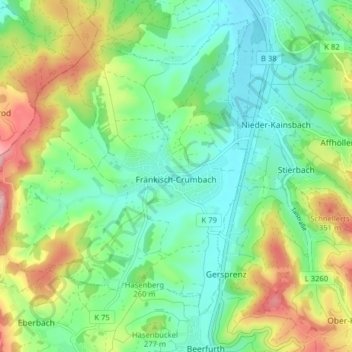
Fränkisch-Crumbach topographic map
Interactive map
Click on the map to display elevation.
About this map
Name: Fränkisch-Crumbach topographic map, elevation, terrain.
Location: Fränkisch-Crumbach, Odenwaldkreis, Hesse, 64407, Germany (49.72306 8.79751 49.76850 8.87688)
Average elevation: 801 ft
Minimum elevation: 561 ft
Maximum elevation: 1,312 ft