
Sterrebeek topographic map
Interactive map
Click on the map to display elevation.
About this map
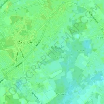
Name: Sterrebeek topographic map, elevation, terrain.
Location: Sterrebeek, Zandhoven, Antwerpen, Vlaanderen, 2242, België (51.21128 4.66649 51.21321 4.67457)
Average elevation: 26 ft
Minimum elevation: 7 ft
Maximum elevation: 39 ft
Other topographic maps
Click on a map to view its topography, its elevation and its terrain.
Hof van Liere
België > Vlaanderen > Zandhoven
Hof van Liere, 3, Hofeinde, Zandhoven, Antwerpen, Vlaanderen, 2240, België
Average elevation: 30 ft