
Lake Tamblingan topographic map
Interactive map
Click on the map to display elevation.
About this map
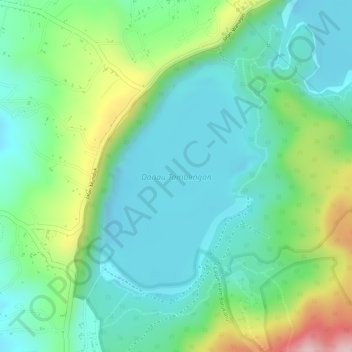
Name: Lake Tamblingan topographic map, elevation, terrain.
Location: Lake Tamblingan, Buleleng, Bali, Indonesia (-8.26586 115.09067 -8.24874 115.10301)
Average elevation: 4,199 ft
Minimum elevation: 3,944 ft
Maximum elevation: 4,793 ft
Other topographic maps
Click on a map to view its topography, its elevation and its terrain.