
Tadmaït topographic map
Interactive map
Click on the map to display elevation.
About this map
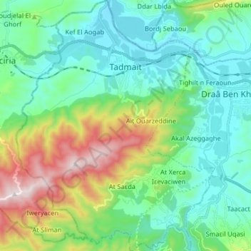
Name: Tadmaït topographic map, elevation, terrain.
Location: Tadmaït, Daïra Draa Ben Khedda, Tizi Ouzou, Algérie (36.66784 3.84442 36.77240 3.94760)
Average elevation: 784 ft
Minimum elevation: 52 ft
Maximum elevation: 2,867 ft