
扎青 topographic map
Interactive map
Click on the map to display elevation.
About this map
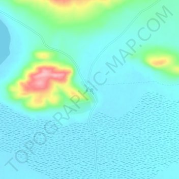
Name: 扎青 topographic map, elevation, terrain.
Location: 扎青, 波绒乡, 聂拉木县, 日喀则市, 西藏自治区, 中国 (28.77696 85.77636 28.81696 85.81636)
Average elevation: 15,253 ft
Minimum elevation: 15,174 ft
Maximum elevation: 15,650 ft
Other topographic maps
Click on a map to view its topography, its elevation and its terrain.