
Shevlin topographic map
Interactive map
Click on the map to display elevation.
About this map
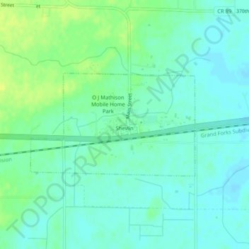
Name: Shevlin topographic map, elevation, terrain.
Location: Shevlin, Clearwater County, Minnesota, United States (47.52483 -95.27438 47.53599 -95.24791)
Average elevation: 1,453 ft
Minimum elevation: 1,430 ft
Maximum elevation: 1,490 ft
Other topographic maps
Click on a map to view its topography, its elevation and its terrain.
Clearbrook
United States > Minnesota > Clearwater County
Clearbrook, Clearwater County, Minnesota, 56634, United States
Average elevation: 1,345 ft
Lake Itasca
United States > Minnesota > Clearwater County
Lake Itasca, Clearwater County, Minnesota, United States
Average elevation: 1,519 ft
Bagley
United States > Minnesota > Clearwater County
Bagley, Clearwater County, Minnesota, 56621, United States
Average elevation: 1,460 ft