
Nagram topographic map
Interactive map
Click on the map to display elevation.
About this map
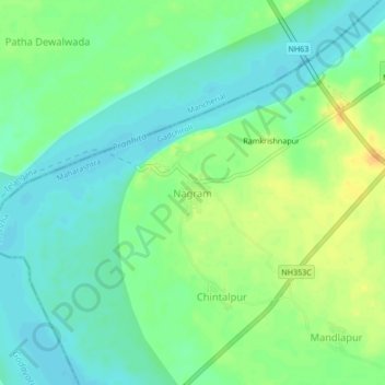
Name: Nagram topographic map, elevation, terrain.
Location: Nagram, Sironcha, Gadchiroli, Maharashtra, India (18.81155 79.91288 18.85155 79.95288)
Average elevation: 351 ft
Minimum elevation: 312 ft
Maximum elevation: 404 ft
Other topographic maps
Click on a map to view its topography, its elevation and its terrain.
Sironcha
India > Maharashtra > Sironcha
Sironcha, Gadchiroli, Maharashtra, India
Average elevation: 377 ft