
Wormditt topographic map
Interactive map
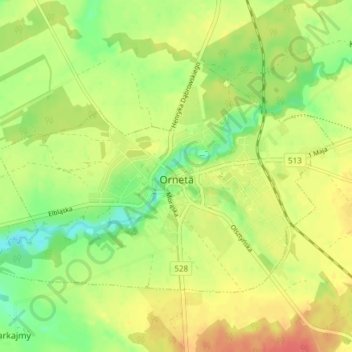
Click on the map to display elevation.
About this map
Name: Wormditt topographic map, elevation, terrain.
Average elevation: 217 ft
Minimum elevation: 131 ft
Maximum elevation: 295 ft
Die Höhe der Stadt gegenüber dem Meeresspiegel der Ostsee beträgt 69,5 Meter.