
Bear Mountain Peak topographic map
Interactive map
Click on the map to display elevation.
About this map
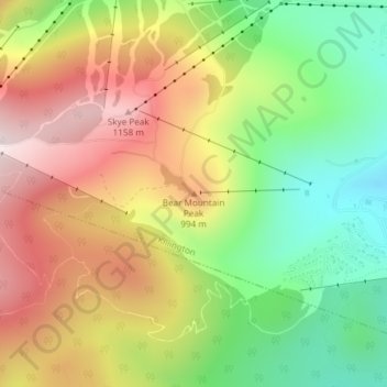
Name: Bear Mountain Peak topographic map, elevation, terrain.
Average elevation: 2,831 ft
Minimum elevation: 1,923 ft
Maximum elevation: 3,819 ft
Other topographic maps
Click on a map to view its topography, its elevation and its terrain.
Valley Park
United States > Vermont > Rutland County > Killington > Sherburne Center
Valley Park, Sherburne Center, Killington, Rutland County, Vermont, United States
Average elevation: 1,660 ft