
Teuchitlán topographic map
Interactive map
Click on the map to display elevation.
About this map
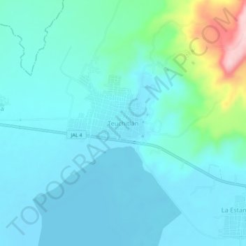
Name: Teuchitlán topographic map, elevation, terrain.
Location: Teuchitlán, Región Valles, Jalisco, 46760, México (20.66372 -103.86727 20.70372 -103.82727)
Average elevation: 4,242 ft
Minimum elevation: 4,117 ft
Maximum elevation: 4,888 ft