
Mid Florida Lakes topographic map
Interactive map
Click on the map to display elevation.
About this map
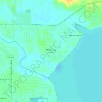
Name: Mid Florida Lakes topographic map, elevation, terrain.
Location: Mid Florida Lakes, Lake County, Florida, 34788, USA (28.84304 -81.77674 28.88304 -81.73674)
Average elevation: 72 ft
Minimum elevation: 52 ft
Maximum elevation: 141 ft