
Tangala topographic map
Interactive map
Click on the map to display elevation.
About this map
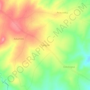
Name: Tangala topographic map, elevation, terrain.
Location: Tangala, Bileafe, Arua, Northern Region, Ouganda (3.02687 31.11590 3.06687 31.15590)
Average elevation: 2,703 ft
Minimum elevation: 2,526 ft
Maximum elevation: 2,858 ft