
Saint Paul topographic map
Interactive map
Click on the map to display elevation.
About this map
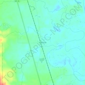
Name: Saint Paul topographic map, elevation, terrain.
Location: Saint Paul, Marion County, Mississippi, VS (31.05518 -89.83397 31.09518 -89.79397)
Average elevation: 135 ft
Minimum elevation: 95 ft
Maximum elevation: 266 ft