
Avry topographic map
Interactive map
Click on the map to display elevation.
About this map
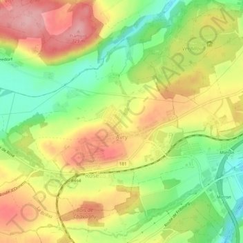
Name: Avry topographic map, elevation, terrain.
Location: Avry, Sarine District, Fribourg, 1754, Switzerland (46.77679 7.03618 46.80266 7.08329)
Average elevation: 2,172 ft
Minimum elevation: 1,936 ft
Maximum elevation: 2,395 ft