
Royal Park topographic map
Interactive map
Click on the map to display elevation.
About this map
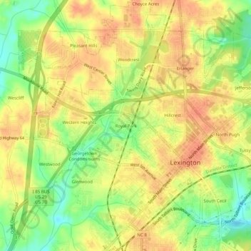
Name: Royal Park topographic map, elevation, terrain.
Location: Royal Park, Davidson County, North Carolina, 27292-5243, USA (35.80986 -80.28505 35.84986 -80.24505)
Average elevation: 761 ft
Minimum elevation: 673 ft
Maximum elevation: 817 ft