
Gänserndorf topographic map
Interactive map
Click on the map to display elevation.
About this map
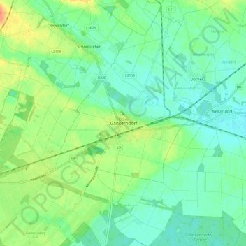
Name: Gänserndorf topographic map, elevation, terrain.
Location: Gänserndorf, Bezirk Gänserndorf, Lower Austria, 2230, Austria (48.30041 16.67845 48.38041 16.75845)
Average elevation: 522 ft
Minimum elevation: 479 ft
Maximum elevation: 604 ft