
Streeter topographic map
Interactive map
Click on the map to display elevation.
About this map
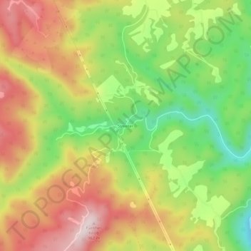
Name: Streeter topographic map, elevation, terrain.
Location: Streeter, Summers County, West Virginia, 25969, USA (37.60734 -81.03787 37.64734 -80.99787)
Average elevation: 2,395 ft
Minimum elevation: 1,650 ft
Maximum elevation: 3,136 ft