
Kilmichael Point topographic map
Interactive map
Click on the map to display elevation.
About this map
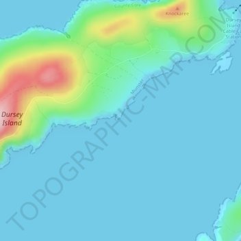
Name: Kilmichael Point topographic map, elevation, terrain.
Location: Kilmichael Point, P75 K722, Ireland (51.58569 -10.18869 51.60569 -10.16869)
Average elevation: 105 ft
Minimum elevation: 0 ft
Maximum elevation: 692 ft