
Ajara topographic map
Interactive map
Click on the map to display elevation.
About this map
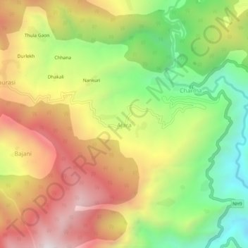
Name: Ajara topographic map, elevation, terrain.
Location: Ajara, Didihat, Pithoragarh, Uttarakhand, India (29.72686 80.23650 29.76686 80.27650)
Average elevation: 5,433 ft
Minimum elevation: 3,743 ft
Maximum elevation: 7,192 ft