
Peers topographic map
Interactive map
Click on the map to display elevation.
About this map
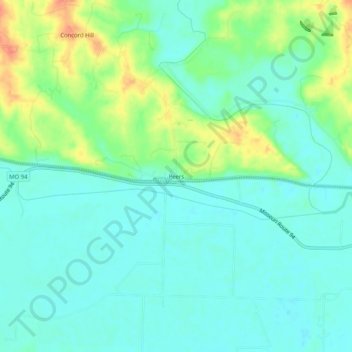
Name: Peers topographic map, elevation, terrain.
Location: Peers, Warren County, Missouri, USA (38.61422 -91.14181 38.65422 -91.10181)
Average elevation: 515 ft
Minimum elevation: 466 ft
Maximum elevation: 630 ft