La Bernadière topographic map
Interactive map
Click on the map to display elevation.
About this map
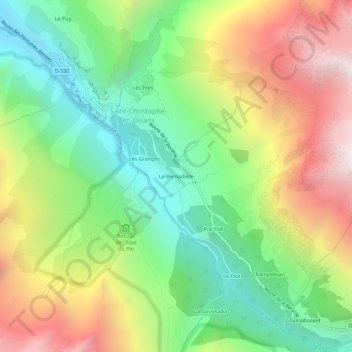
Name: La Bernadière topographic map, elevation, terrain.
Average elevation: 6,368 ft
Minimum elevation: 3,888 ft
Maximum elevation: 9,852 ft

Click on the map to display elevation.
Name: La Bernadière topographic map, elevation, terrain.
Average elevation: 6,368 ft
Minimum elevation: 3,888 ft
Maximum elevation: 9,852 ft