
Soritor topographic map
Interactive map
Click on the map to display elevation.
About this map
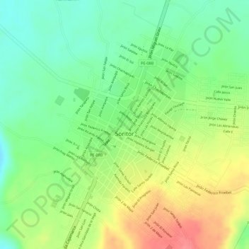
Name: Soritor topographic map, elevation, terrain.
Location: Soritor, Moyobamba, San Martín, Perú (-6.14659 -77.10670 -6.13003 -77.09519)
Average elevation: 2,904 ft
Minimum elevation: 2,789 ft
Maximum elevation: 3,038 ft