
La Lesse topographic map
Interactive map
Click on the map to display elevation.
About this map
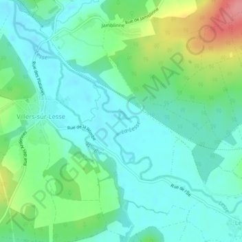
Name: La Lesse topographic map, elevation, terrain.
Location: La Lesse, Rochefort, Dinant, Namur, Wallonie, 5589, Belgique (50.14510 5.11677 50.15833 5.13570)
Average elevation: 518 ft
Minimum elevation: 436 ft
Maximum elevation: 741 ft