
La Venta topographic map
Interactive map
Click on the map to display elevation.
About this map
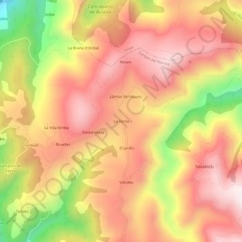
Name: La Venta topographic map, elevation, terrain.
Location: La Venta, Cangas del Narcea, Espanha (43.22492 -6.44884 43.26492 -6.40884)
Average elevation: 2,267 ft
Minimum elevation: 876 ft
Maximum elevation: 3,127 ft