
Dalle topographic map
Interactive map
Click on the map to display elevation.
About this map
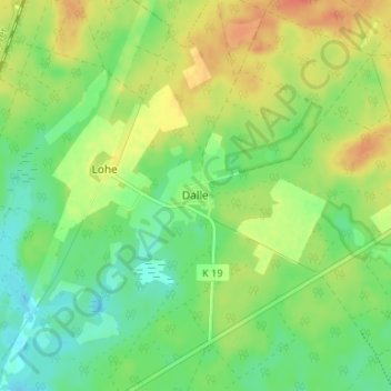
Name: Dalle topographic map, elevation, terrain.
Location: Dalle, Eschede, Celle (arrondissement), Basse-Saxe, Allemagne (52.76089 10.28065 52.80089 10.32065)
Average elevation: 289 ft
Minimum elevation: 226 ft
Maximum elevation: 367 ft