
Santa Rosa de Manduriacu topographic map
Interactive map
Click on the map to display elevation.
About this map
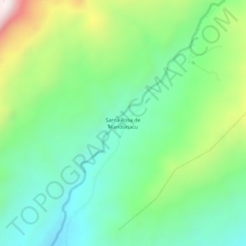
Name: Santa Rosa de Manduriacu topographic map, elevation, terrain.
Average elevation: 3,176 ft
Minimum elevation: 2,293 ft
Maximum elevation: 5,131 ft