
Blackmore topographic map
Interactive map
Click on the map to display elevation.
About this map
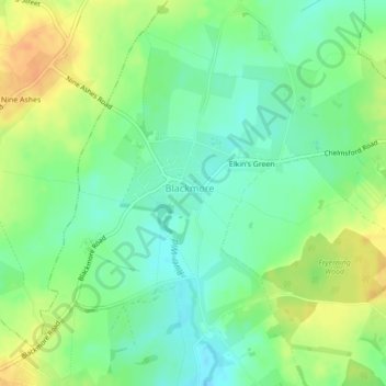
Name: Blackmore topographic map, elevation, terrain.
Location: Blackmore, Essex, East of England, England, United Kingdom (51.68858 0.31239 51.69488 0.32291)
Average elevation: 269 ft
Minimum elevation: 220 ft
Maximum elevation: 335 ft