
Radefeld topographic map
Interactive map
Click on the map to display elevation.
About this map
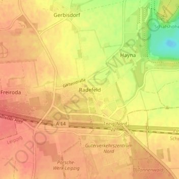
Name: Radefeld topographic map, elevation, terrain.
Location: Radefeld, Schkeuditz, Nordsachsen, Sachsen, Deutschland (51.40336 12.27865 51.44336 12.31865)
Average elevation: 417 ft
Minimum elevation: 299 ft
Maximum elevation: 469 ft
Other topographic maps
Click on a map to view its topography, its elevation and its terrain.
Wehlitz
Deutschland > Sachsen > Nordsachsen > Schkeuditz
Wehlitz, Schkeuditz, Nordsachsen, Sachsen, 04435, Deutschland
Average elevation: 361 ft