
Shahrood topographic map
Interactive map
Click on the map to display elevation.
About this map
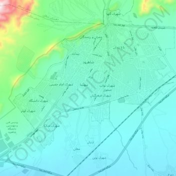
Name: Shahrood topographic map, elevation, terrain.
Location: Shahrood, بخش مرکزی, Shahrud County, Semnan Province, Iran (36.36658 54.90854 36.44545 55.01959)
Average elevation: 4,475 ft
Minimum elevation: 4,094 ft
Maximum elevation: 6,512 ft