
Langeraar topographic map
Interactive map
Click on the map to display elevation.
About this map
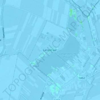
Name: Langeraar topographic map, elevation, terrain.
Location: Langeraar, Südholland, Niederlande, 2461RW, Niederlande (52.17318 4.68973 52.21318 4.72973)
Average elevation: -10 ft
Minimum elevation: -23 ft
Maximum elevation: 13 ft