
Fredrikstad topographic map
Interactive map
Click on the map to display elevation.
About this map
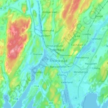
Name: Fredrikstad topographic map, elevation, terrain.
Location: Fredrikstad, Viken, 1608, Norway (59.17817 10.88976 59.25817 10.96976)
Average elevation: 89 ft
Minimum elevation: -13 ft
Maximum elevation: 377 ft