
Ayapel topographic map
Interactive map
Click on the map to display elevation.
About this map
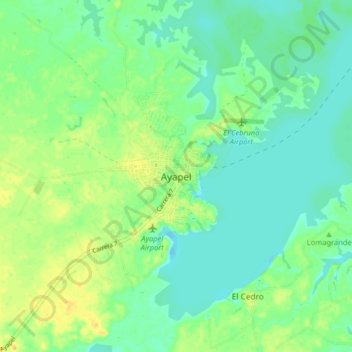
Name: Ayapel topographic map, elevation, terrain.
Location: Ayapel, San Jorge, Córdoba, Colombia (8.27167 -75.18450 8.35167 -75.10450)
Average elevation: 79 ft
Minimum elevation: 43 ft
Maximum elevation: 131 ft