
Tambdi Surla topographic map
Interactive map
Click on the map to display elevation.
About this map
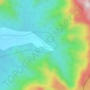
Name: Tambdi Surla topographic map, elevation, terrain.
Location: Tambdi Surla, Dharbandora, South Goa, Goa, India (15.42016 74.23224 15.46016 74.27224)
Average elevation: 889 ft
Minimum elevation: 282 ft
Maximum elevation: 2,484 ft