
Kino topographic map
Interactive map
Click on the map to display elevation.
About this map
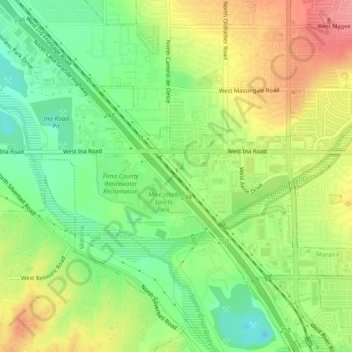
Name: Kino topographic map, elevation, terrain.
Location: Kino, Pima County, Arizona, 85742, United States (32.31480 -111.08204 32.35480 -111.04204)
Average elevation: 2,224 ft
Minimum elevation: 2,096 ft
Maximum elevation: 2,379 ft