
Beverly Farms topographic map
Interactive map
Click on the map to display elevation.
About this map
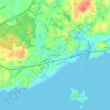
Name: Beverly Farms topographic map, elevation, terrain.
Location: Beverly Farms, Essex County, Massachusetts, 01944, USA (42.54398 -70.83060 42.58398 -70.79060)
Average elevation: 52 ft
Minimum elevation: -3 ft
Maximum elevation: 194 ft