
Jaggan topographic map
Interactive map
Click on the map to display elevation.
About this map
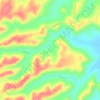
Name: Jaggan topographic map, elevation, terrain.
Location: Jaggan, Tarzali, Queensland, Australia (-17.41889 145.56277 -17.39889 145.58277)
Average elevation: 2,569 ft
Minimum elevation: 2,405 ft
Maximum elevation: 2,730 ft
Other topographic maps
Click on a map to view its topography, its elevation and its terrain.