
Hochkirch - Bukecy topographic map
Interactive map
Click on the map to display elevation.
About this map
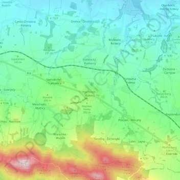
Name: Hochkirch - Bukecy topographic map, elevation, terrain.
Location: Hochkirch - Bukecy, Bautzen, Saxony, Germany (51.11436 14.52289 51.18663 14.64311)
Average elevation: 883 ft
Minimum elevation: 518 ft
Maximum elevation: 1,824 ft