
Rob Roy topographic map
Interactive map
Click on the map to display elevation.
About this map
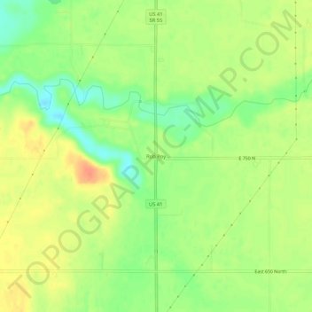
Name: Rob Roy topographic map, elevation, terrain.
Location: Rob Roy, Fountain County, Indiana, United States of America (40.21670 -87.26334 40.25670 -87.22334)
Average elevation: 646 ft
Minimum elevation: 571 ft
Maximum elevation: 715 ft