
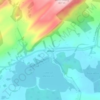
Port of Menteith topographic map
Interactive map
Click on the map to display elevation.
About this map
Name: Port of Menteith topographic map, elevation, terrain.
Location: Port of Menteith, Stirling, Scotland, FK8 3RB, United Kingdom (56.16469 -4.30498 56.20469 -4.26498)
Average elevation: 331 ft
Minimum elevation: 36 ft
Maximum elevation: 1,309 ft