
Curzu topographic map
Interactive map
Click on the map to display elevation.
About this map
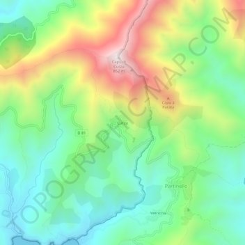
Name: Curzu topographic map, elevation, terrain.
Average elevation: 984 ft
Minimum elevation: 0 ft
Maximum elevation: 2,759 ft
Other topographic maps
Click on a map to view its topography, its elevation and its terrain.
Col de la Croix
France > Corsica > South Corsica > Osani
Col de la Croix, D 81, Osani, Ajaccio, South Corsica, Corsica, Metropolitan France, 20147, France
Average elevation: 597 ft